MyTrails

The snappiest offline topo maps
Plan, track, analyze and share your outdoor adventures

Skip to content
  • Features
    • MyTrails Pro
    • Testimonials
  • Topo maps
    • Premium maps guide
    • Ordnance Survey Explorer and Landranger (Great Britain)
    • OS Opendata (Great Britain)
    • IGN TOP 25, TOP 100, Cadastre and Satellite (France)
    • IGN Cadastre (France)
    • Tour & Trail (Spain and Portugal)
  • Manual
    • Introduction
    • Map view
    • Track Manager
      • Pending operations
    • Waypoints
    • Directions
    • Map Manager
    • Creating offline maps
      • MGM Howto
    • Preferences
    • Battery considerations
    • Mobile data considerations
  • Download
  • FAQ
    • Account
    • Offline maps and storage
    • Purchases
    • Track and sensors
    • Troubleshooting
  • About & support
    • About FrogSparks
    • Support and contact
    • Version history
    • Roadmap
    • Legal notices
    • Privacy Policy
    • Translations
  • Blog
  • My Subscriptions

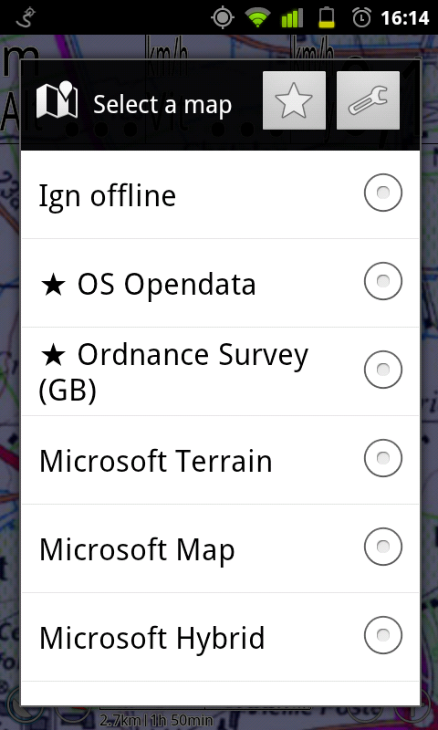
Select map

Published 2 August 2013 at 480 × 800 in Premium maps guide.
Next →
Select map

In the menu, tap Select Map, then the ★ button.

We use cookies to ensure that we give you the best experience on our website. If you continue to use this site we will assume that you are happy with it.