MyTrails

The snappiest offline topo maps
Plan, track, analyze and share your outdoor adventures

Skip to content
  • Features
    • MyTrails Pro
    • Testimonials
  • Topo maps
    • Premium maps guide
    • Ordnance Survey Explorer and Landranger (Great Britain)
    • OS Opendata (Great Britain)
    • IGN TOPĀ 25, TOP 100, Cadastre and Satellite (France)
    • IGN Cadastre (France)
    • Tour & Trail (Spain and Portugal)
  • Manual
    • Introduction
    • Map view
    • Track Manager
      • Pending operations
    • Waypoints
    • Directions
    • Map Manager
    • Creating offline maps
      • MGM Howto
    • Preferences
    • Battery considerations
    • Mobile data considerations
  • Download
  • FAQ
    • Account
    • Offline maps and storage
    • Purchases
    • Track and sensors
    • Troubleshooting
  • About & support
    • About FrogSparks
    • Support and contact
    • Version history
    • Roadmap
    • Legal notices
    • Privacy Policy
    • Translations
  • Blog
  • My Subscriptions

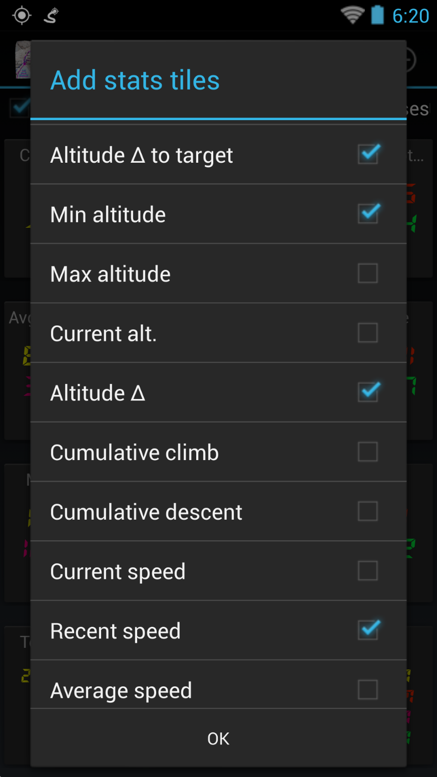
Adding some stats

Published 6 August 2013 at 873 × 1552 in MyTrails 2: Stats.
← Previous Next →
Adding some stats

There is a huge list of stats

Liked this post? Follow this blog to get more. 

We use cookies to ensure that we give you the best experience on our website. If you continue to use this site we will assume that you are happy with it.